
DRONE DETECTION, TRACKING, AND IDENTIFICATION
Flight portal 3d
“I’ve reviewed 8 of these airspace GUI’s and none are as smooth as this.”
— National Security Operator

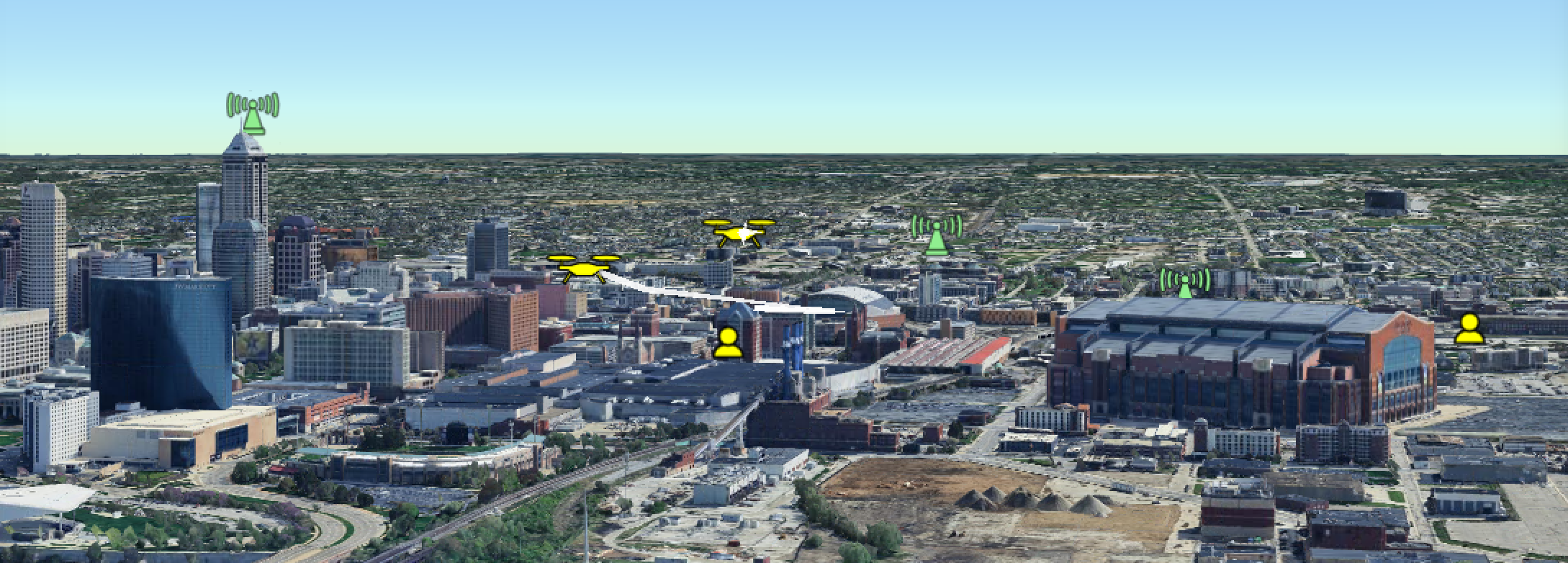
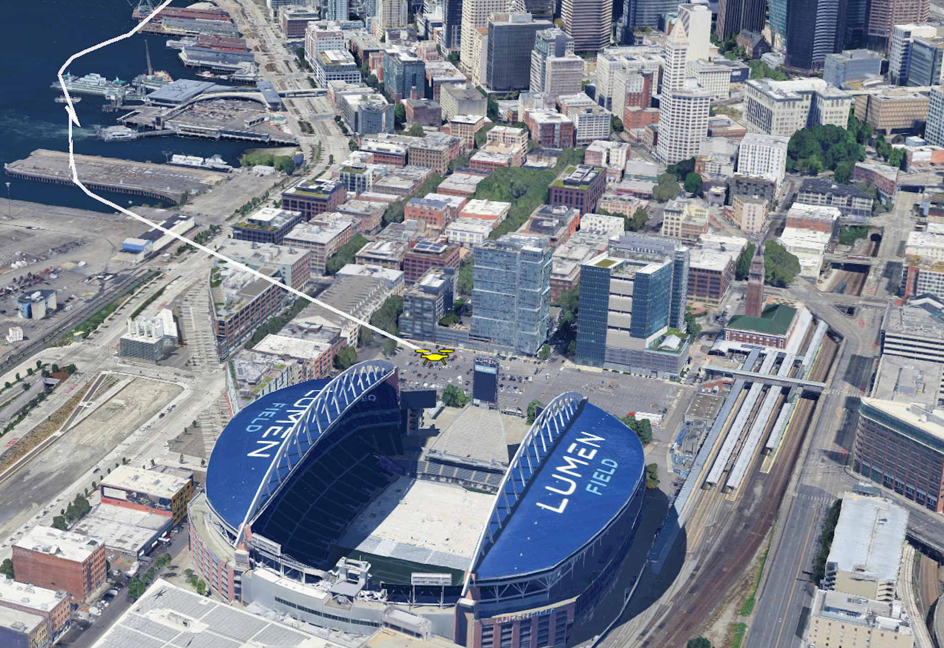
Flight Portal 3D (FP3D) is a browser-based user interface that visualizes real-time Remote ID and ADS-B telemetry in an interactive 3D environment. The platform delivers low-altitude airspace awareness by utilizing dual-use drone tracking, pilot location mapping, target classification, dynamic geofencing, and historical flight forensic replays into a single command display.
features
❋ Geofencing
FP3D provides interactive and dynamic geofencing capabilities that allow operators to establish custom protection zones, and automatically triggers real-time visual software warnings/alerts upon unauthorized drone entry or exit while maintaining continuous tracking outside restricted areas.
❋ EXPANSIVE Historical Data Logging
Provides an intuitive user experience allowing operators to access comprehensive historical flight records and past dataset logs.
❋ 3D Space Visualization
Provides an intuitive, three-dimensional display of Remote ID and ADS-B data streaming from airspace sensors for enhanced contextual awareness of drone and operator locations.
❋ MULTI-SOURCED INTEGRATION
The Flight Portal Backend is a modern multi-cloud Modular Open Systems Approach (MOSA) architecture with robust role based access and control (RBAC) that simultaneously routes data from multiple geographies and numerous sensor meshes across common protocols like Cursor on Target (CoT), JSON, and SAPIENT. Flight Portal Backend persistently powers FP3D, TAK, and numerous other client interfaces on a daily basis.
❋ ROBUST CLASSIFICATION SYSTEM
Features a robust aircraft/pilot classification system allowing users to update or change identification status among various preset or custom user-defined classifications.
❋ LAYERED MAPPING
Supports multiple interactive map layers to customize operational views.